Arnoc Indonesia

-

GEOVIA Software Training

Official GEOVIA Training Partner in Indonesia

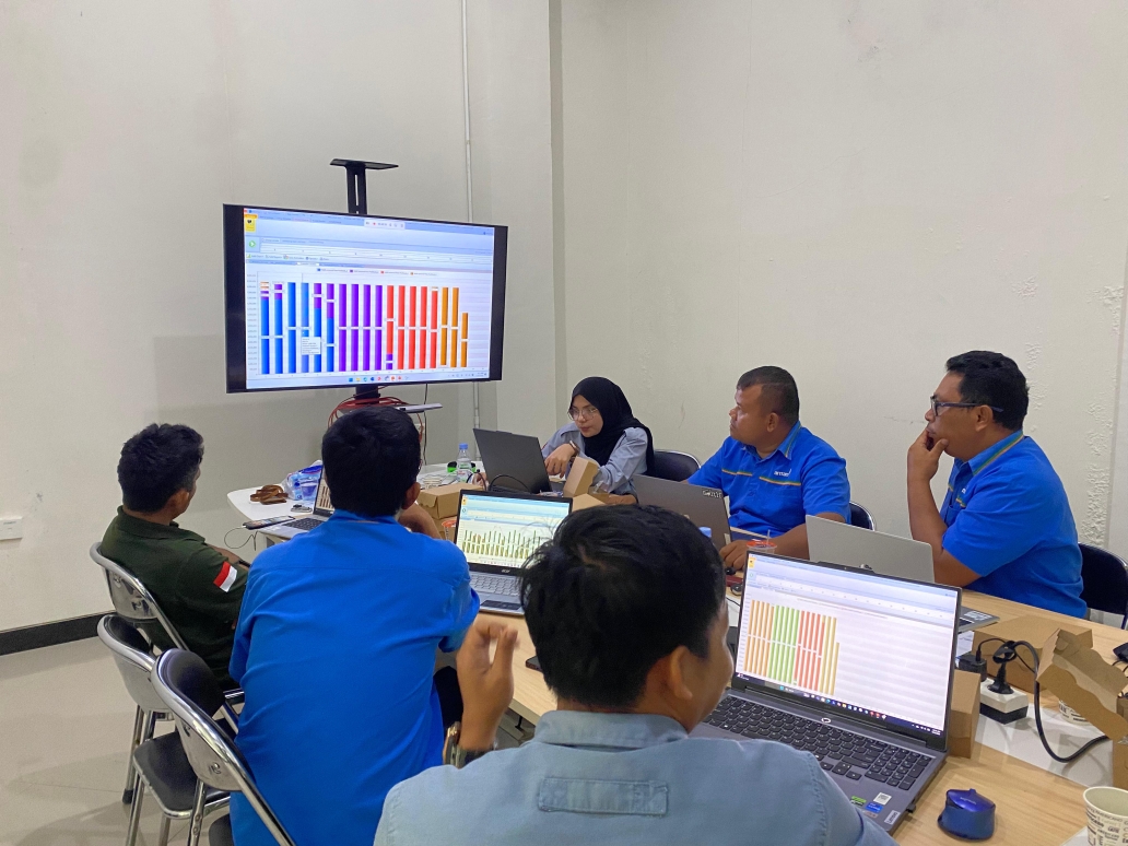
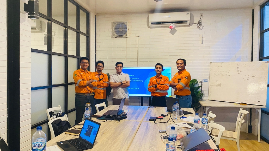
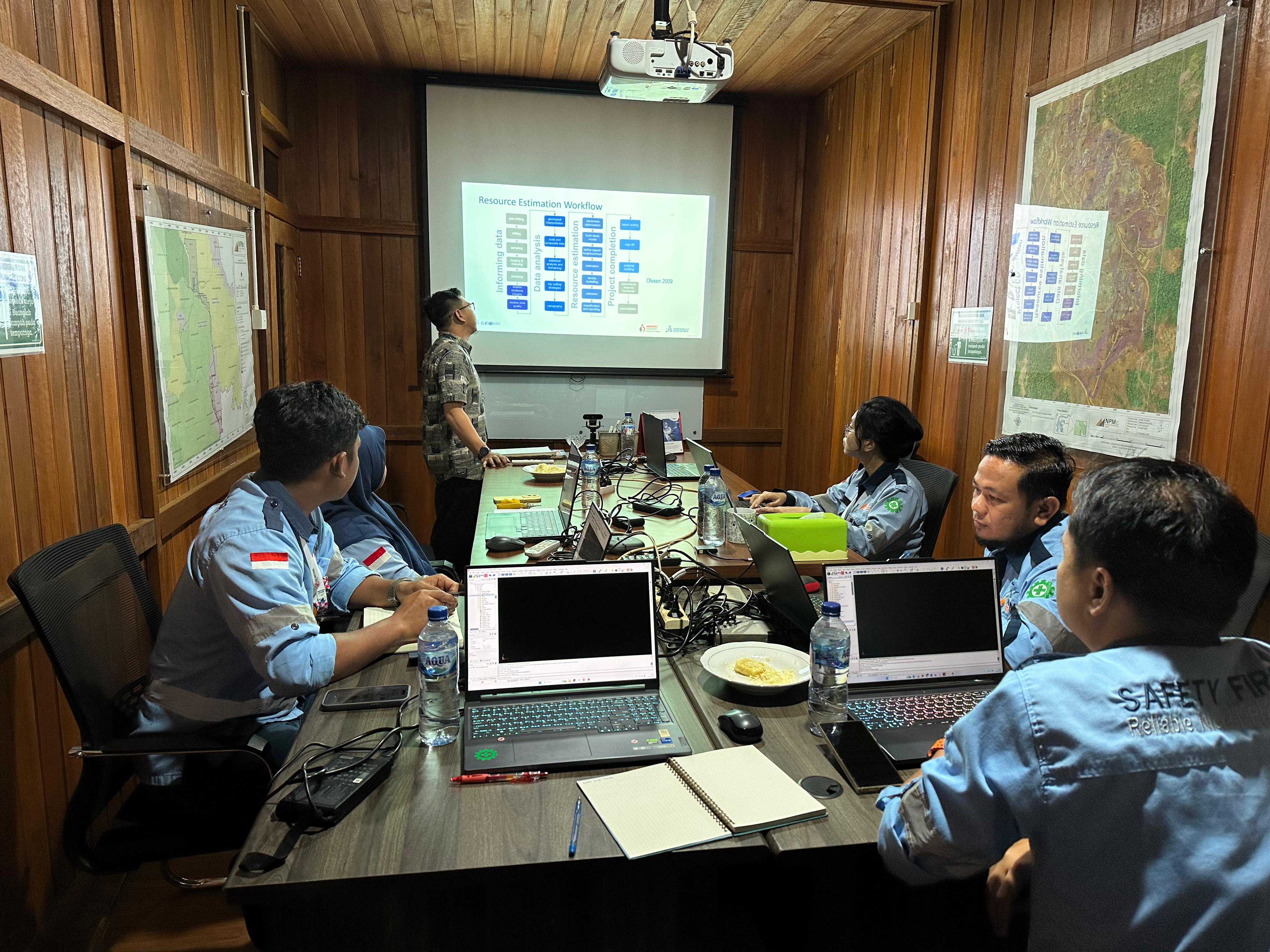
PT Arnoc Indonesia Energi is the official partner of Dassault Systèmes for GEOVIA solutions in Indonesia and an official provider of GEOVIA training software. We are licensed by Dassault Systèmes University, ensuring that every training program we deliver meets global standards and the needs of the modern mining industry.

Our training is led by trainers from PT Arnoc Indonesia Energi who are certified by Dassault Systèmes. They have expertise in modelling, design, scheduling, data management, automated workflows, and system configuration.

Available GEOVIA Software Training Programs

Duration 5 days
Description This training is designed for geologists to build a comprehensive understanding of resource modelling and estimation using GEOVIA Surpac. It covers the fundamental concepts, from database management and geological modeling to resource estimation and reporting.
Details
Chapter Course
Foundation
  • Introduction (licensing, UI, profile, help)
  • Surpac Concept (data type, string, planes)
    • Interface Concept (view, select, move, layers)
  • Constraint
  • Creating data
  • Triangulated Surface (DTM, 3DM)
  • File Tools
  • Export data
Geology Database
  • Overview and Concept
  • Create a Surpac Database
    • Create and import data
    • View and audit data
  • Display Drillhole
    • Create drillhole display style
    • Manipulate drillhole
    • Identify and edit drillholes
  • Drillhole Section
    • Digitize ore outline
    • Create geology solids
  • Section Plotting
    • Simple section plot
Geostatistics and Domains
  • Overview and Concept
  • Domain Definition
    • Clip solid
    • Assign domains
  • Geostatistics Concept in Surpac
  • Sample data
    • Extract sample data
    • Report statistic
  • Composites
    • Extract composite
    • Histogram & Scatter Diagrams
    • Transformation & Probability Plot
    • Report statistics
  • Domain Validation
    • Histogram, Probability Plot
    • Report statistics and Domain Validation
  • Variography
    • Overview & Concept
    • Downhole Variography
    • Omni Directional Variography
    • Directional Variography
Resource Estimation
  • Block Model Definition
    • Create a Block Model
    • Add Attributes
    • Create & Apply Constraints
    • Assign Values
    • Report a Block Model
  • Estimation Methods
    • Nearest Neighbour
    • Inverse Distance
    • Ordinary Kriging Estimation
  • Model Validation
    • Domain Statistics
    • Visual & Spatial Validation
    • Swath Plots
    • Point Kriging
    • Variogram Validation
  • Classification and reporting
    • Classify a mineral resource
    • Report resources
Duration 5 days
Description This course covers the technical workflow of GEOVIA Surpac for string modeling, DTM, block modeling, reserve calculation, and pit and disposal area design based on geological data.
Details
Chapter Course
Overview
  • Software installation and licensing
  • Surpac concepts (and data type)
  • Block Value
  • The Surpac interface (graphics)
  • Forms and help
Organising your data
  • Recommended project folder configuration
  • Managing data in layers
  • Saving your project settings into profiles
  • Setting up customized icons and shortcuts
Working with data
  • String, segment and point information
  • String concepts and file structure
  • Object properties
  • Using the selection and orbiting tool
  • Displaying your data
  • Styles for strings
  • Editing data
Create menu
  • Creating new points and gradients
  • Basic digitizing techniques
  • Creating a grid
  • Breaklines and file preparation
  • Normalizing the data
  • Creating DTMs
  • Intersection
  • Contouring
  • Extracting sections under a surface
  • Draping
  • Reporting volumes
  • Cut and fill
  • Cutting planes
  • Viewing data on planes
File tools menu
  • String summary / change string directions
  • String maths
  • Applying a boundary string
  • Classifying strings
  • Polygon intersections
Surfaces
  • DTM concepts
  • Breaklines and file preparation
  • Normalizing the data
  • Validating
DTM Modelling
  • Creating and sectioning DTMs
  • Generating volumes
  • Contouring
  • DTM trimming
  • Colour DTM functions
  • Draping (strings and imaged)
Plotting
  • Basic autoplot
  • Plot sheet setup
Block model setup
  • Block modelling concepts
Creating a block model
  • Attributes
  • Creating attributes
Constraints, dispalying, sectioning, plotting, creating
  • Creating / applying constraints graphically
  • Display / colouring a model by any single attribute type
  • Partial percentages using constraints
Reporting
  • By elevations
  • By geometric groupings
Daughter block models
  • Constrained block models
  • Creating a sub model from a parent model
Open pit design overview
  • Concepts
  • Basic design tools
Open pit design
  • Setting up ramps
  • Slope design
  • Designing a switchback
  • Designing to a DTM
Waste dump design
  • Designing a waste dump
  • Autoplot
  • Entities
  • Plotting sheet set up
Duration 3 days
Description This course focuses on utilizing GEOVIA Surpac features for mining survey work, from measurement data processing and digital terrain modeling (DTM) to presenting survey results in accurate and integrated 3D visualizations.
Details
Chapter Course
Overview
  • Software installation and licensing
  • Surpac concepts (and data type)
  • The Surpac interface (graphics)
  • Forms and help
Organising your data
  • Recommended project folder configuration
  • Managing data in layers
  • Saving your project settings into profiles
Working with data
  • String, segment and point information
  • String concepts and file structure
  • Object properties
  • Using the selection and orbiting tool
  • Displaying your data
  • Editing data
Styles
  • Creating new points and gradients
  • Basic digitising techniques
Create Menu
  • String summary / change string directions
  • String maths
  • Applying a boundary string
Maths Function
  • Applying expressions to data
Surfaces
  • DTM concepts
  • Breaklines and file preparation
  • Normalizing the data
  • Creating DTMs
  • Intersection
  • Contouring
  • Extracting sections under a surface
  • Draping
  • Reporting Volumes
  • Cut and fill
Solids Modelling
  • Use the different methods to create a solid
  • Validate solids
  • Edit solids
Sections and planes
  • Interactive method
  • Cutting planes
  • Viewing data on planes
File tools menu
  • String summary and directions
  • Applying a boundary
  • 2D transformation
Survey database
  • Create new database
  • Importing text files
  • Displaying database
Plotting
  • Autoplot
  • Plot sheet setup
Advanced tools
  • Recording a macro
Duration 3 days
Description This training covers the complete mine scheduling workflow using block models including setting production targets, defining haulage constraints, and integrating with Surpac for seamless planning.
Details
Chapter Course
Data Preparation
  • Define Geology
  • Setup Development
Schedule Set-up
  • Block Model Parameters
  • Locations
  • Material Flow
  • Production
  • Parameters
  • Precedences
  • Production Parameters
  • Targets
  • Create Schedule
  • Target Parameters
Schedule Edit
  • Schedule Analysis and Update
Publish Results
  • Graphical Results
  • Custom Reports
  • Export to Surpac
Additional Chapter 
  • Haulage Calculation
Duration 3 days
Description This training focuses on pit limit optimization using Lerchs-Grossmann and Pseudoflow algorithms for strategic mine planning and maximizing project value.
Details
Chapter Course
Overview
  • Pit Optimization Theory and Algorithms
  • Slopes
  • Block Value
  • Whittle Concepts
  • Cost
  • Revenue Factors
  • Ore Selection Discussion
  • Block Model Concepts
  • Block Model Dimensions
  • Block Model Attributes
Optimization in Whittle
  • Project Creation
  • Block Model Import
  • Validation
  • Grade Tonnage Graphs
  • Reblock Node
  • Slope Set Node
  • Pit Shell Node
  • Operational Scenario
Basic Pit Shell in Whittle
  • Spider Diagram
  • Pit by Pit Graph
  • Schedule Graph and Bench Schedules
  • Reporting in Whittle
Import
  • Importing of pit shells and schedules into Surpac
Long-term scheduling
  • Discounting
  • Milawa Algorithm
  • Pushback Chooser
  • Mining Width
  • Mining Direction
Duration 5 days
Description This training is designed for geologist to build a comprehensive understanding of stratified resource modelling and estimation using GEOVIA Minex. It covers the fundamental concepts, from borehole database management and seam modeling to resource estimation and reporting.
Details
Chapter Course
Starting with Minex
  • Familiarise with Minex interface
  • Using the Minex Explorer
Organising your data
  • Recommended project folder configuration
  • Using the project manager
Working with triangles and grids
  • Minex data and file types
  • Triangles and grids
  • Creating and displaying surfaces as solids
  • Manipulating grids and triangles
  • Editing grids and triangles using arithmetic
  • Grid and triangle volumetrics
  • Creating and plotting contours
Creating string data in 3D
  • Overview of geometry file
  • Reporting grid and traingle statistics
  • Creating strings and points
  • Displaying and querying geometry data
  • Manipulating data with string functions
  • Area functions
Creating sections in 2D
  • Creating a section mount
  • Methods for creating a section pplan
  • Displaying triangles, grid, and seam on a section
  • Creating and retrieving plot archives
Seams Interpretation and Correlation
  • Creating a plan map
  • Plotting boreholes in plan mount
  • Creating a cross section
  • Plotting boreholes in cross sections
  • Plotting Topography & weathering using grid cross section
  • Controlling data using the mount control panel
  • How to add/edi/rename/delet seampick
Creating Seam Model
  • Seam modeling concept in Minex
  • Reporting collar within topographic surfaces
  • Concept of splitting/merging method
  • Concept of father and son method
  • Concept of interpolation
  • Exporting seam intervals
  • Compute seam floor and thickness grids
  • Concept of washout on grids
Seam model validation
  • Plotting seams in cross section
Creating Quality Model
  • Selecting seam/sample compositing parameters
  • Statistics of quality attributes
  • Compute coal quality grids
Resources
  • Insitu Resource Reporting
Duration 5 days
Description This module focuses on open pit and dump design and scheduling in Minex, including equipment setup, mining sequences, haulage routes, dump simulation, and productivity analysis.
Details
Chapter Course
Starting with Minex
  • Familiarise with Minex interface
  • Using the Minex Explorer
Organising your data
  • Recommended project folder configuration
  • Using the project manager
Working with triangles and grids
  • Minex data and file types
  • Triangles and grids
  • Creating and displaying surfaces as solids
  • Manipulating grids and triangles
  • Editing grids and triangles using arithmetic
  • Grid and triangle volumetrics
  • Creating and plotting contours
Creating string data in 3D
  • Overview of geometry file
  • Reporting grid and traingle statistics
  • Creating strings and points
  • Displaying and querying geometry data
  • Manipulating data with string functions
  • Area functions
Creating sections in 2D
  • Creating a section mount
  • Methods for creating a section pplan
  • Displaying triangles, grid, and seam on a section
  • Creating and retrieving plot archives
Overview Open Pit Scheduling
  • Concepts and objectives of scheduling
  • Types of scheduling within Minex
Preparing for Scheduling
  • Creating and editing the calender file
  • The schedule wizard
  • Defining equipment and production rates
Detailed Scheduling
  • Defining Scheduling rules
  • Review of the equipment file and properties
  • Detailed interactive scheduling
  • Target monitor setup
  • Creating movement files and sequence files
Target Scheduling
  • Nominating targets and time periods
  • Creating the sequence file and schedule path
  • Running a target schedule
Reporting and schedule results output
  • Details schedule report
  • Residual reserves report
  • Creating face positions surfaces
  • Equipment productivity
  • Schedule calender report
  • Exporting face positions
  • Create pit schedule playback
Overview Dump Scheduling Material Classing
  • Understanding dump scheuling workflow
  • Overview dump design process
  • Create reserve database and generate reserve for dumps
Material Classing
  • Assign waste material classification in Pit Reserve
  • Set the class material for Dump
Dump Schedule Scenario
  • Create a dump schedule & dump equipment database
  • Create and configure dump scenario
  • Assign infitite dump for overflow material
  • Define routes between pits and dumps
  • Create dump sequence
  • Ranking the dump priority
Open Pit Dump Schedule
  • Interactive dump schedule
  • Replay an open pit schedule & complete a dump schedule
Generations of Haul Roads
  • Concept of haul roads, haul road segments, & haul routes
  • Create haul roads segment strings
  • Define haul road speed limits
  • Create haul roads and haul routes
  • Generate ramps distance
Cycle time calculation
  • Configure loaders parameter
  • Configure truck parameter
  • Calculate truck cycle times
Reporting and schedule result output
  • Detailed dump schedule report
  • Generate truck cycle time & haulage selection report
  • Exporting dump face positions
  • Create pit and dump schedule playback
Duration 4 days
Description This training covers pit limit optimization in Minex using Lerrchs Grossman algorithms based on economic value, slope constraints, and block configuration.
Details
Chapter Course
Starting with Minex
  • Familiarise with Minex interface
  • Using the Minex Explorer
Organising your data
  • Recommended project folder configuration
  • Using the project manager
Working with triangles and grids
  • Minex data and file types
  • Triangles and grids
  • Creating and displaying surfaces as solids
  • Manipulating grids and triangles
  • Editing grids and triangles using arithmetic
  • Grid and triangle volumetrics
  • Creating and plotting contours
Creating string data in 3D
  • Overview of geometry file
  • Reporting grid and traingle statistics
  • Creating strings and points
  • Displaying and querying geometry data
  • Manipulating data with string functions
  • Area functions
Creating sections in 2D
  • Creating a section mount
  • Methods for creating a section pplan
  • Displaying triangles, grid, and seam on a section
  • Creating and retrieving plot archives
Overview of Pit Optimisation
  • Pit optimisation Theory
Geological model validation
  • Methods for checking the geology model for validity before optimizing
Create the merged model
  • Rationalise the geological model into a mining model
  • Create merged model
Identify optimisation parameters
  • Identify mining and physical constraint
  • Establish revenue & sale price on quality variable
  • Setup fixed cost model for mining/processing
  • Setup variable cost model for mining/processing
Pit Optimisation
  • Optimiser menu introduction
  • Run pit optimiser
Reporting results
  • Create report template
  • Report pit optimiser result
Advance pit Optimisation
  • Using MNX file
  • Control optimum pit slopes by zone
  • Control haulage cost by area and depth
  • Creating price and cost model
Duration 5 days
Description This Training is designed for Engineering division to build a comprehensive understanding of creating design and reserve calculation and reporting using GEOVIA minex. It covers fundamental concept, pit designing,drill and blast design, report and validation.
Details
Chapter Course
Starting with Minex
  • Familiarise with Minex interface
  • Using the Minex Explorer
Organising your data
  • Recommended project folder configuration
  • Using the project manager
Working with triangles and grids
  • Minex data and file types
  • Triangles and grids
  • Creating and displaying surfaces as solids
  • Manipulating grids and triangles
  • Editing grids and triangles using arithmetic
  • Grid and triangle volumetrics
  • Creating and plotting contours
Creating string data in 3D
  • Overview of geometry file
  • Reporting grid and traingle statistics
  • Creating strings and points
  • Displaying and querying geometry data
  • Manipulating data with string functions
  • Area functions
Creating sections in 2D
  • Creating a section mount
  • Methods for creating a section pplan
  • Displaying triangles, grid, and seam on a section
  • Creating and retrieving plot archives
Overview
  • Rationalise the geological model
  • Examine outcrop / subcrop of seams
  • Calculate the merged model
  • Create cross sections through merged seams
  • Identify design constraints
  • Geotechnical parameters (wall angles and berms)
Create bench grids
  • Identify bench surfaces, bottom seam, bench height
  • Create bench grids
  • Define the bench list
Pit design
  • Generate benches
  • Generate pit shell
  • Generate strips and blocks
  • Incorporate ramp into design
  • Using mask polygon to vary the slope angle
  • Create pit design with bench elevation
  • Block validation and editing
  • Displaying pit geometry data
Building reserves
  • Create a reserves database
  • Defining codes and layers
  • Add quality variables
  • Generate Insitu reserves
  • Update quality variables from quality model
  • Report reserves
Reserves validation
  • Methods for validating reserves
  • Examine layers in the reserves database
ROM reserve manipulation
  • Waste and merge layers
  • Apply losses and dilutions
  • Edit the database using SQL’s
  • Display reserve blocks in 3D
Reporting and validating
  • Report using other methods
  • Use face position surface as dump base
Creating dump surfaces using earthworks
  • Create waste dump surfaces
  • Create final dump profiles
Drill and blast
  • Setup blast pattern
  • Generate drillers reports
  • Create blast plan